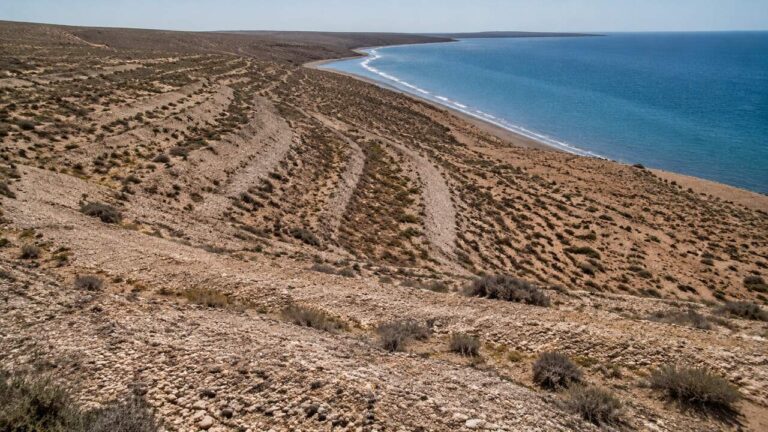
Above parts of the modern shoreline of Península Valdés, ridges of rounded gravel and shell material preserve former coastlines. Geologists call these raised beaches, paleobeaches or emerged shorelines. They show that the relationship between land and sea has changed through time—and help reconstruct Quaternary sea-level history in Patagonia.
What is a raised beach?
A beach becomes “raised” when its wave-built deposits stand above the zone reached by ordinary modern tides. The word does not identify a single cause. Relative sea level can fall because global ocean volume decreases, land rises, or both processes occur together.
How geologists recognize an ancient shoreline
| Evidence | Interpretation | Caution |
|---|---|---|
| Rounded gravel ridge | Past wave sorting and transport | Wind can later modify the surface |
| Marine shells | Coastal depositional environment | Material may be reworked |
| Terrace elevation | Relative position of former sea | Requires accurate surveying |
| Multiple parallel ridges | Successive shoreline stages | Each ridge needs independent dating |
Ice-age cycles changed ocean volume
During glacial periods, large volumes of water were stored in continental ice and global sea level fell. During warmer interglacials, melting ice raised the ocean. Patagonia’s coast recorded some of those high stands as marine terraces and beach ridges. Local tectonic and isostatic movement also affects the height observed today.
A beach is a moving sediment system
Waves sort gravel and shells into berms and ridges. When the shoreline shifts seaward or the land emerges, those forms can be stranded inland. Wind adds sand, soils develop and vegetation colonizes, gradually making an ancient beach look like part of the steppe.
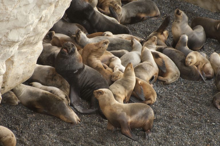
Cerro Avanzado Tour From Puerto Madryn
Unforgettable adventure: Encounter sea lions, enjoy panoramic views, and explore Cerro Avanzado's beauty. Book now!
- Adventure
From Price: USD 115
What raised beaches can—and cannot—tell us
Their elevation, fossils and sediment structure help estimate past sea levels, water temperatures and coastline positions. But a ridge cannot be dated reliably by appearance. Scientists use methods such as radiocarbon or other geochronology where appropriate, combined with stratigraphy and precise elevation.
Seeing the evidence responsibly
Travelers may notice pale, curving gravel ridges from roads and authorized viewpoints. Do not drive onto them, collect shell material or cut into a terrace. These are finite archives: removing items erases their spatial relationship.
For trip planning, raised beaches are a wonderful example of a landscape that becomes more interesting with context. What first appears to be a dry gravel bank may be the preserved edge of an earlier Golfo Nuevo or Atlantic shoreline.
Raised beaches versus current storm berms
A modern storm berm lies near the active beach and may be reshaped by the next strong event. A raised beach stands outside normal modern wave reach and belongs to an older relative sea level. Field distinction requires landform position, sediment study and dating—not guesswork from one photograph.
Puerto Madryn & Peninsula Valdes – 3 night traditional program
Check best season to see whales and penguins in the area
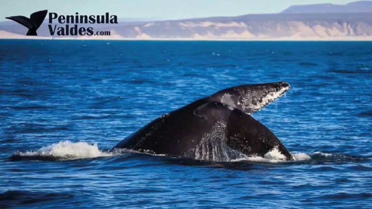
Puerto Madryn & Estancia San Lorenzo
Enjoy visiting Puerto Madryn and the north portion of Peninsula Valdes with an overnight in Estancia San Lorenzo to enjoy the penguin colony