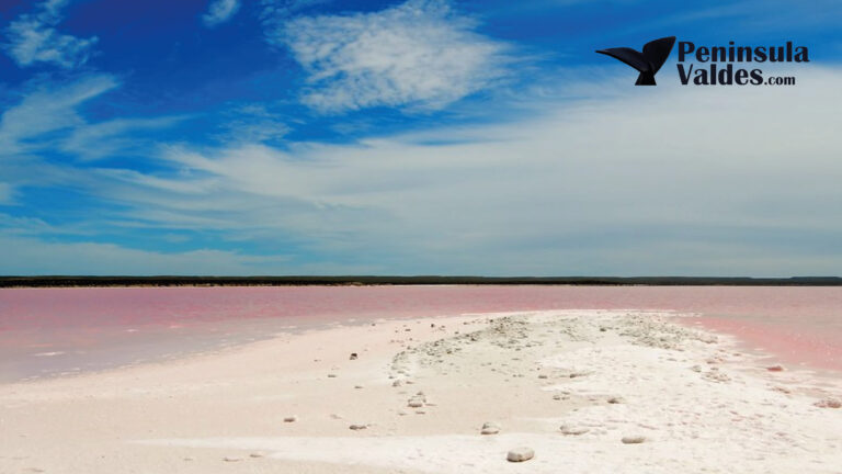
Salina Grande and Salina Chica are two closed salt depressions in the central interior of Península Valdés. The official map places Salina Grande about 42 meters (138 feet) below sea level and Salina Chica about 35 meters (115 feet) below sea level. They are landscape features seen from the road network and authorized stopping areas—not developed walk-on salt-flat attractions like the better-known Salinas Grandes in Jujuy.
Most of Península Valdés is private estancia land, so visitors should not drive onto the salt pans, cross a fence or follow an unmarked track for photographs. Their value lies in understanding the peninsula’s below-sea-level interior, mineral history and visual contrast with the surrounding Patagonian steppe.
| Feature | Salina Grande | Salina Chica |
|---|---|---|
| Mapped elevation | Approximately −42 m | Approximately −35 m |
| Relative scale | Larger central basin | Smaller neighboring basin |
| Historical role | Linked to Puerto Pirámides by a salt railway | Part of the same mineral landscape |
| Visitor access | View only from authorized areas | View only from authorized areas |
Elevations and locations were checked against the official Península Valdés English map; geomorphology and historical references were checked against the protected area’s management plan on August 28, 2026.
Peninsula Valdes from La Elvira Lodge
Visit Península Valdés from a hotel built 20 years ago, which was restored and transformed into La Elvira Natural Lodge, located within the peninsula.
Do not confuse these salt flats with Salinas Grandes in northern Argentina
Search results for “Argentina salt flats” are dominated by the high-altitude Salinas Grandes on the border of Jujuy and Salta. That is a different destination, thousands of kilometers away, with organized local visits across a vast bright salt surface.
Península Valdés’s Salina Grande and Salina Chica sit in a low Patagonian basin near the Atlantic. There is no general public program that allows visitors to drive onto the pans, walk across a geometric salt crust or expect the mirror effect promoted in Andean salt-flat photography. Using “Península Valdés” in every map search prevents an expensive navigational mistake.
How the salt depressions fit the peninsula’s geography
The protected-area management plan describes Salina Grande, Salina Chica and the more northerly Gran Salitral as closed depressions without an outlet. Salina Grande and Salina Chica occupy the lower sections of an elongated east-west basin. Water that reaches these lows cannot drain to a river or the sea, so evaporation and saline soils shape the landscape.
The official elevations are striking because both depressions lie below sea level even though the peninsula is surrounded by the Atlantic. They are not holes connected directly to the ocean. Higher terrain separates the enclosed basins from the coast.
From a traveler’s perspective, this central depression explains why the peninsula is not simply a flat road between wildlife beaches. The landscape drops, opens and rises again, creating long horizontal views and a strong contrast between pale salt, sparse vegetation and distant steppe ridges.
Where can visitors see Salina Grande and Salina Chica?
The official tourist map places both salinas beside the internal route network in the central and southern peninsula. They are often seen while traveling between the Puerto Pirámides sector and the Atlantic coast around Caleta Valdés/Punta Cantor. A guided driver may point them out as part of the full-day route.
Use only signed viewpoints, established pullouts and places where parking is expressly permitted. Do not stop on a blind bend or soft shoulder. Do not open gates, enter estancia tracks or descend toward the basin without explicit authorization. The protected-area brochure states that about 98 percent of the reserve’s surface is private property.
The site’s article on driving the gravel roads of Península Valdés covers surface conditions, fuel and weather preparation.
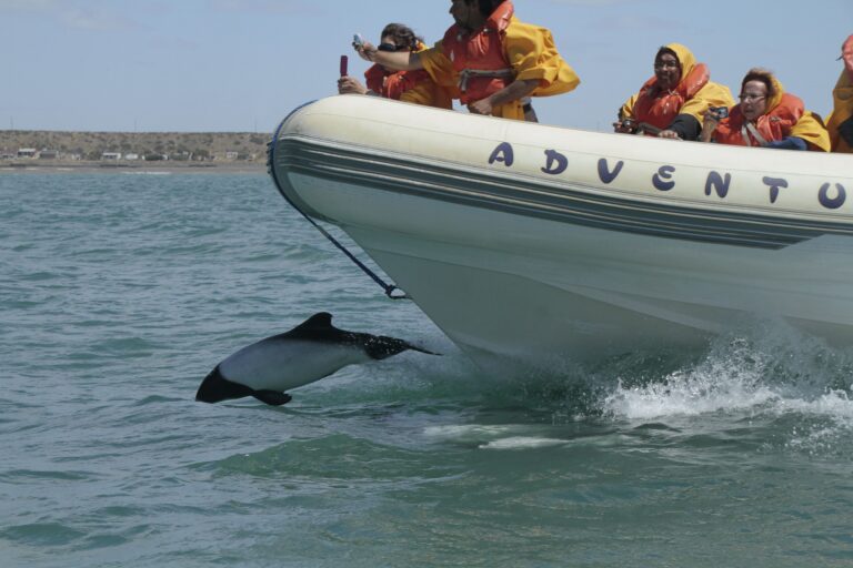
Commerson’s Dolphin Watching from Rawson Port
Enjoy a one-hour boat ride from Rawson to see Commerson’s dolphins, sea lions, and coastal birds in their natural habitat.
- Peninsula Valdes
From Price: USD 165
What will the salt flats look like?
The appearance changes with moisture, recent weather, sun angle and distance. Dry sections can look pale gray or white, but soil, sediment and vegetation may soften the color. After precipitation, parts of the basin can hold shallow water or appear darker. There is no reliable “perfect white” or mirror season.
Wind can also reduce visibility and cover surfaces with dust. A wide-angle view that includes the surrounding steppe often communicates the place better than a tight photograph of salt. From a normal road-level viewpoint, scale and elevation are the story.
Salt extraction and the railway to Puerto Pirámides
Salt extraction helped shape the peninsula’s early industrial history. The municipal tourism information for Puerto Pirámides records that exploitation of Salina Grande and Salina Chica supplied table salt and ended in 1920. The protected-area management plan identifies remains of the railway that transported salt from Salina Grande to Puerto Pirámides as part of the area’s cultural heritage.
The narrow-gauge line carried salt toward the gulf, where it could be stored and shipped. This history gives Puerto Pirámides a dimension beyond whale watching: the town’s location and early infrastructure were connected to moving mineral resources from the interior to the coast.
Visitors should not search independently for railway remnants on private land. Interpretation at official centers or a licensed historical tour is the appropriate way to learn more without disturbing archaeological features.
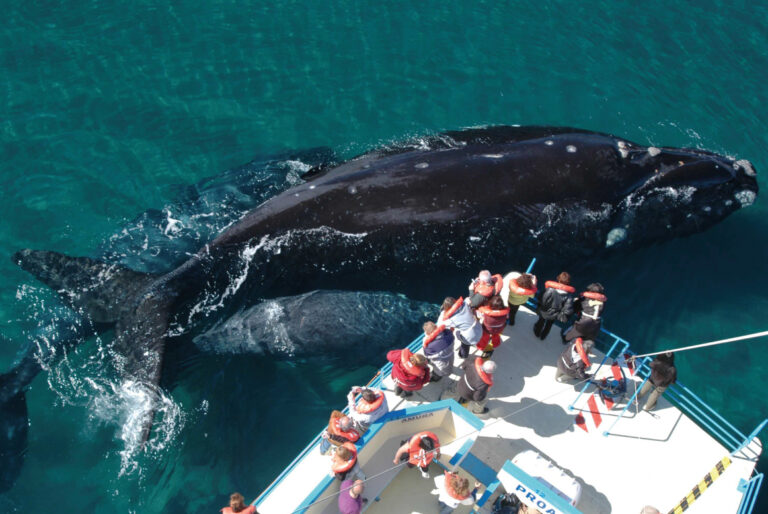
Discover Península Valdés – Low Cost Day Trip
A full-day budget tour from Puerto Madryn to Península Valdés with optional whale watching and scenic wildlife spots.
- Peninsula Valdes
From Price: USD 99
Are the salinas a wildlife stop?
They are not managed marine-mammal colonies. Wildlife sightings are more likely to involve steppe species around the basin: guanacos, lesser rheas, tinamous, armadillos, foxes or raptors. Saline vegetation and seasonal moisture may also influence bird activity, but visitors should not present the salinas as a guaranteed flamingo destination.
The major marine wildlife stops remain Caleta Valdés, Punta Norte, Punta Pirámide and the gulfs.
Use the Península Valdés fauna calendar to plan those encounters rather than assigning a marine species to the salt flats.
Photography without trespassing
- Use a designated pullout or photograph through the vehicle window only when safely parked.
- Include road, steppe or distant ridges to communicate scale.
- A polarizing filter can control glare, but over-polarization may make the sky look unnatural.
- Never walk onto soft saline ground; crust can conceal mud and unstable surfaces.
- Do not fly a drone without confirming protected-area and property rules.
An aerial perspective makes the basins and their relationship to the coast easier to understand. The existing guide to overflying Península Valdés explains that separate experience; flight routes and wildlife-disturbance rules must always be confirmed by the operator.
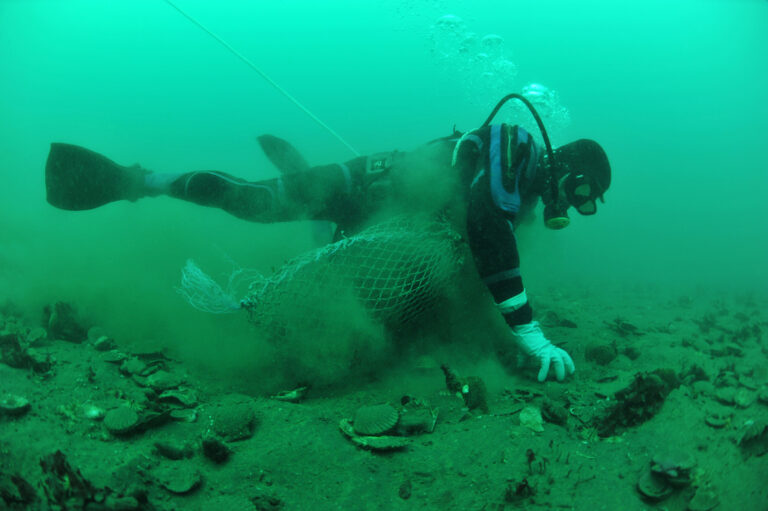
Artisanal Fishery at The Gulf of San José
Step aboard a traditional fishing boat and discover the secrets of artisanal fishing passed down through generations in the heart of Peninsula Valdés.
- Puerto Madryn
From Price: USD 1290
How much time should you allow?
The salinas are normally scenic route features rather than a standalone half-day excursion. A safe signed stop may add 10–20 minutes, while a guide’s explanation can make the same view much more meaningful. Do not sacrifice daylight needed for the distant wildlife coast simply to wait for a photo condition that may not appear.
Frequently asked questions
Can you walk on Salina Grande or Salina Chica?
There is no general public walk-on access. View them only from authorized areas unless a licensed, landowner-approved service explicitly includes access.
Are the salt flats always white?
No. Their color and surface appearance change with water, sediment, weather, light and season.
Is Salina Grande the same as Salinas Grandes in Jujuy?
No. The Península Valdés depression is a separate Patagonian feature and not the high-altitude visitor attraction in northwestern Argentina.
Why are they below sea level?
They occupy closed internal basins whose lowest points lie below sea level but are separated from the ocean by higher ground.
Can you visit them on a Península Valdés tour?
Many southern circuits pass the salinas and guides may interpret them from the route, but the exact stops vary. The Península Valdés tour with whale watching describes a route past Salina Grande and Salina Chica on the way to the Atlantic coast.
Peninsula Valdes from La Elvira Lodge
Visit Península Valdés from a hotel built 20 years ago, which was restored and transformed into La Elvira Natural Lodge, located within the peninsula.
Puerto Madryn & Puerto Piramides – 4 nights
Check best season to see whales and penguins in the area