The gulf is protected for its marine productivity, coastal wetlands, birds and marine mammals. Yet much of its shoreline is private estancia land or conservation space rather than a chain of public beaches. Plan around designated viewpoints, stay off unmarked tracks and use low tide to understand the scale of the intertidal landscape.
| Stop | Best for | Access note |
|---|---|---|
| Istmo Carlos Ameghino | Understanding the gulf beside Golfo Nuevo | Use official visitor-center viewpoints |
| Isla de los Pájaros | Birds, intertidal flats and broad gulf views | Island access prohibited; view from shore |
| Riacho San José sector | Coastal geography and sheltered-water context | Use only confirmed public routes and signed areas |
| Guided route | Ecology, fishing history and access interpretation | Confirm itinerary and any private-property permission |
Geographic dimensions and environmental descriptions were checked against the official Península Valdés management plan and UNESCO material on August 28, 2026. Public access must always follow current signs and ranger guidance.
Where is Golfo San José?
Golfo San José lies north of the narrow isthmus that connects Península Valdés to the mainland. Golfo Nuevo occupies the southern side. This unusual arrangement allows visitors near the Istmo Carlos Ameghino Visitor Center to understand two very different-looking bodies of water from a narrow strip of land.
The management plan gives Golfo San José an approximate area of 660 square kilometers. Its relatively small size, narrow mouth and protected position help explain why its waters are calmer than the exposed Atlantic coast. The gulf reaches a maximum depth of about 85 meters, but its broad intertidal margins are equally important.
Start at the Istmo Carlos Ameghino Visitor Center, where the geography is easier to read with maps and orientation from staff.
Why the tides are so visible
The official management plan describes tidal ranges that can exceed eight meters in parts of Golfo San José. At high tide, water covers broad shallow margins; at low tide, large expanses of mud and sand emerge. This repeated flooding and exposure creates productive feeding grounds for shorebirds and supports a complex web of invertebrates, algae, fish and larger animals.
A visitor who sees the gulf only at high tide may interpret it as a simple calm bay. At low tide, channels, flats and the relationship between Isla de los Pájaros and the mainland become much clearer. Neither state is better in every respect: high tide emphasizes water and coast, while low tide reveals ecological structure.
Golfo San José Provincial Marine Park
The formal conservation history of the gulf includes the creation of the Golfo San José Provincial Marine Park in 1974. It was an important step in the wider protection of Península Valdés, which later became a UNESCO World Heritage Site in 1999.
Protection reflects both biodiversity and vulnerability. The gulf’s narrow entrance and sheltered waters concentrate ecological processes, while fisheries, tourism and coastal use require careful management. Visitors should not treat an empty-looking beach or tidal flat as unused land.
Classic Peninsula Valdes
Discover the natural wonders of Peninsula Valdés on this full-day adventure.
- Peninsula Valdes
From Price: USD 130
Best public scenic stops
Istmo Carlos Ameghino viewpoints
The Istmo is the clearest place to grasp the gulf’s position. Depending on the exact viewpoint and visibility, the landscape shows Golfo San José to the north and Golfo Nuevo to the south. The visitor center adds maps, geology and wildlife interpretation, plus public facilities.
Isla de los Pájaros shore viewpoint
A short gravel detour from the Istmo leads to the official Isla de los Pájaros unit. The island lies about 800 meters offshore and cannot be accessed. From the coast, visitors see the gulf, the island and the intertidal zone, with fixed optics and ranger interpretation available. Low tide is especially revealing.
The island’s breeding birds and wetland designations deserve their own visit.
Use the site’s current overview of Península Valdés’s main scenic and wildlife stops to position it within a broader route, while following the new dedicated Isla de los Pájaros guide once published.
Peninsula Valdes from La Elvira Lodge
Visit Península Valdés from a hotel built 20 years ago, which was restored and transformed into La Elvira Natural Lodge, located within the peninsula.
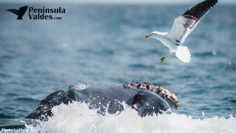
Riacho San José and other shoreline references
Riacho San José appears on official maps on the southwestern gulf coast, but visitors should not assume that every shoreline track is public or that an undeveloped coastal point has facilities. Ask rangers which routes are open, park only where authorized and turn back at private gates or conservation signs.
Wildlife and ecosystems
Golfo San José sits near the meeting zone of warmer Argentine and colder Magellanic marine influences. The management plan documents rich mollusk and macroalgae communities, productive waters and varied seabed types. These less visible systems support the birds, fish and marine mammals travelers hope to see.
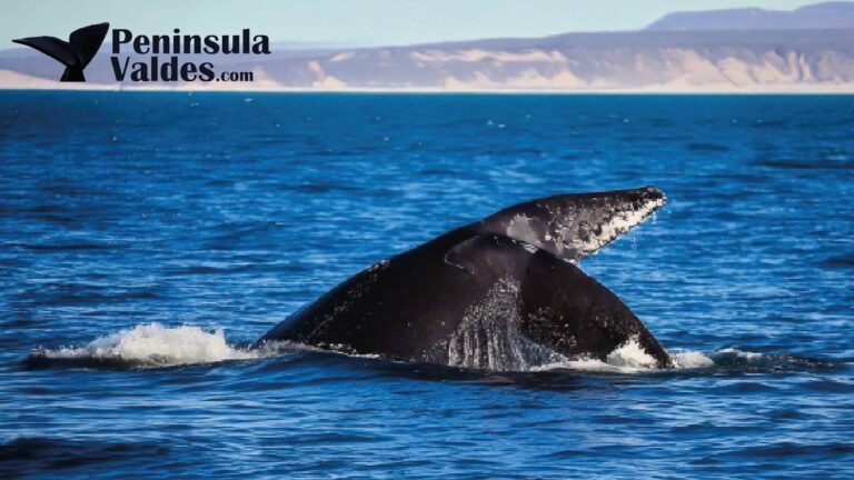
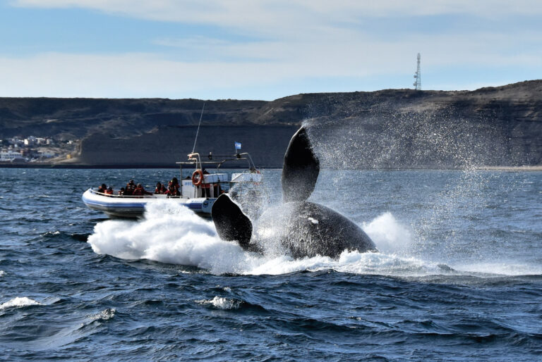
Southern right whales can use the protected gulfs during their seasonal stay around Península Valdés, but shore sightings from Golfo San José are not as straightforward or consistently promoted as the viewing at El Doradillo, Puerto Pirámides or other parts of Golfo Nuevo. Dolphins may also enter the gulf, while seabirds and shorebirds are a more realistic focus at the public western viewpoints.
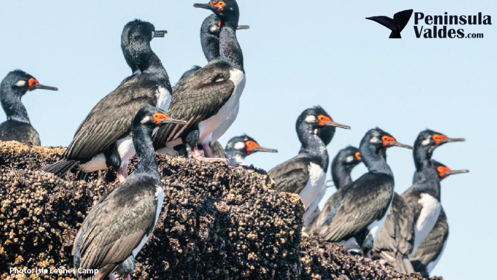
Isla de los Pájaros and the surrounding wetlands support breeding birds, flamingos, terns, gulls, cormorants, ducks, herons and migratory shorebirds according to season. On the steppe approach, guanacos, choiques, maras and raptors may appear.
Can you swim, kayak or fish in Golfo San José?
Do not assume that a calm appearance makes any shoreline suitable for independent recreation. Tidal movement is large, exposed flats can be soft, water is cold and access rights differ around the gulf. Some activities may be regulated, restricted to specific zones or require an authorized provider.
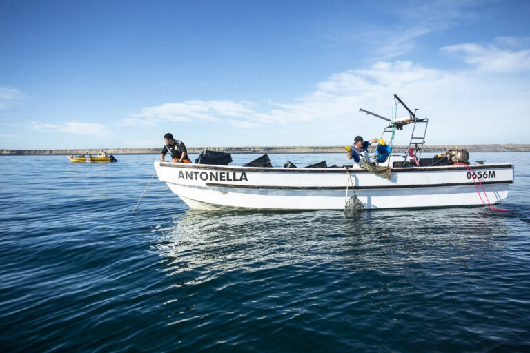
Fishing has a long local history and the gulf has supported artisanal fisheries, but protected-area and fisheries rules govern where, when and how it is permitted. Verify current regulations rather than relying on visible fishing activity as evidence that visitors may participate.
How to plan a responsible visit
- Check the tide table before choosing the Isla de los Pájaros stop.
- Use official viewpoints and signed roads only.
- Bring binoculars for birds and distant marine mammals.
- Do not enter mudflats, shellfish areas or private coastal property.
- Carry out waste and avoid disturbing feeding or resting flocks.
Classic Peninsula Valdes
Discover the natural wonders of Peninsula Valdés on this full-day adventure.
- Peninsula Valdes
From Price: USD 130
Golfo San José versus Golfo Nuevo
Golfo San José is smaller, lies north of the Istmo and is known for major tides, intertidal wetlands and protected ecological productivity. Golfo Nuevo is larger, lies south of the Istmo and includes Puerto Madryn, Puerto Pirámides, whale-watching waters and a wider network of urban and recreational viewpoints.
Both are sheltered compared with the outer Atlantic and both matter to marine wildlife. They should not be treated as interchangeable. A visitor can experience Golfo Nuevo easily from Puerto Madryn; appreciating Golfo San José usually requires a deliberate stop at the Istmo and Isla de los Pájaros.
Classic Peninsula Valdes
Discover the natural wonders of Peninsula Valdés on this full-day adventure.
- Peninsula Valdes
From Price: USD 130
Frequently asked questions
Can you see both gulfs from one place?
The Istmo Carlos Ameghino area provides the geographic perspective for both Golfo San José and Golfo Nuevo, subject to the exact viewpoint and visibility.
What is the best tide for Isla de los Pájaros?
Low tide is best for seeing the full intertidal landscape. Bird activity can also be strong as feeding areas emerge.
Are there public beaches all around Golfo San José?
No. Much shoreline is private or protected. Use designated public sites and confirm access.
Are whales guaranteed in Golfo San José?
No. Whales use the region seasonally, but sightings from a particular road-accessible viewpoint are never guaranteed.
How much time is needed?
Allow around 30–45 minutes at the Istmo overview and 45–60 minutes at Isla de los Pájaros. These are planning estimates, not official minimums.
A full-day guided route places the gulf in the wider peninsula landscape before continuing toward seasonal wildlife. The classic Península Valdés tour is a practical option for visitors who prefer interpretation and transport included.
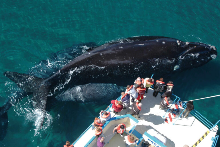
Discover Península Valdés – Low Cost Day Trip
A full-day budget tour from Puerto Madryn to Península Valdés with optional whale watching and scenic wildlife spots.
- Peninsula Valdes
From Price: USD 99
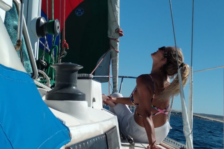
Half-Day Coastal Sailing Tour in Puerto Madryn
Sail along the coast of Puerto Madryn and connect with the city's nautical heritage on a relaxing and interactive sailing trip. Enjoy breathtaking views, local stories, a
- Puerto Madryn
From Price: USD 140